RECENT POSTS
- O que é um Invited Review?
- UTM 23S??
- FAQ about BJGEO
- Tutorial - São Paulo City LiDAR
- New site layout
- The SPAMLab has a website (and a blog)
- Publish anything with us (just need to pay 1200 Euros)
- I deleted my account at Academia.edu
- Denoising SRTM with GRASS-GIS
- Curso Internacional de Espeleoresgate 2016
- All posts ...
UTM 23S??
Jan 28, 2020
If there’s one thing that I see all the time as a reviewer, is a map of some study area in Brazil with a caption like “UTM coordinates zone 23S”.
Don’t do that.
Why? I’ll tell you.
The UTM system divides the Earth into 60 zones (or fuses) of 6° longitude (plus some special zones at high latitudes). Zone 1 starts at 180° and zone numbering increases eastwards.
Then each zone is divided into 8° latitude bands, which are labeled by letters, starting with “C” at 80°S and going trhough the English alphabet until “X” (“I” and “O” are excluded because they are too similar to numbers 1 and zero).
See how the whole thing looks (click to enlarge):
 |
|---|
| UTM zones (Wikipedia) |
From that image we can see that a study area located in southeastern Brazil, like the city of São Paulo, will be in UTM zone 23K or 23J, but not 23S. Zone 23S is in the North Atlantic Ocean!
So why this happens at all? Simple, GIS software just don’t care! For a computer, all that matters is if your area is north or south of the Equator line. So a map projected in UTM, zone 23, southern hemisphere is just “23S”. And the same zone in the northern hemisphere is “23N”.
And what should I use in my maps?, you might ask. The right zone. Use “23K” or “23 south” but if you’re not studying the Yakutat Seamount, please don’t use “23S”.
And how can I find the right zone?, you might also ask? One simple trick is to use Google Earth. Just go to the software’s Preferences and in the coordinate system (in mine it says “Show Lat/Long”) you choose “Universal Tranverse Mercator”. Now the status bar at the bottom of the window will show you the coordinate and the UTM zone.
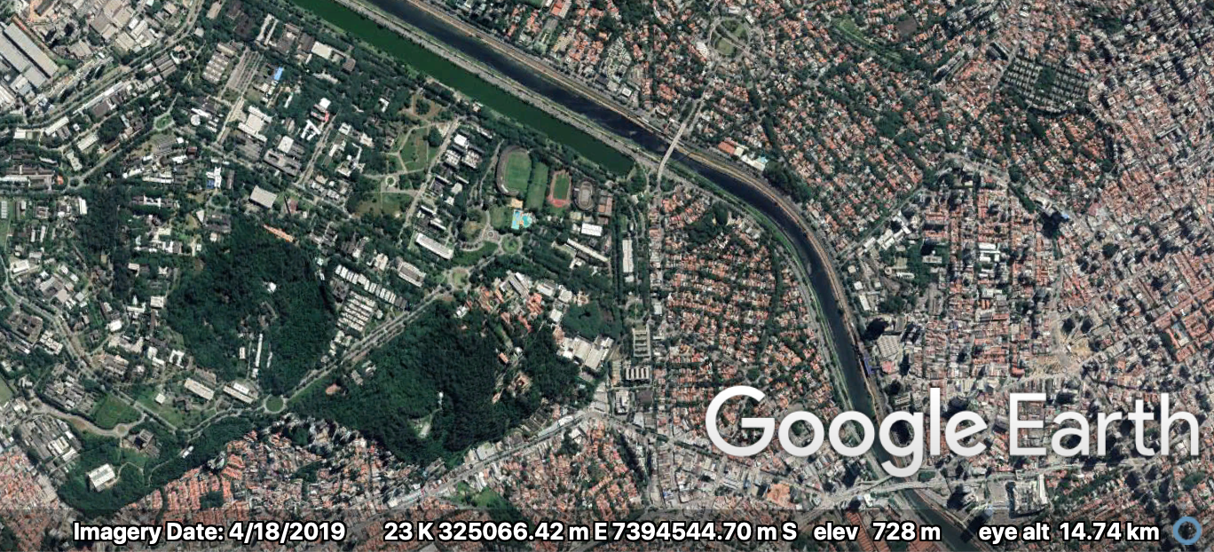 |
|---|
| A little bit of São Paulo city, UTM zone 23K (screen capture from Google Earth) |
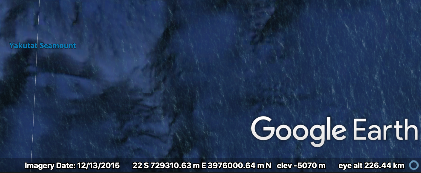 |
|---|
| Not São Paulo city, UTM zone 23S (screen capture from Google Earth) |
post by Carlos H. Grohmann